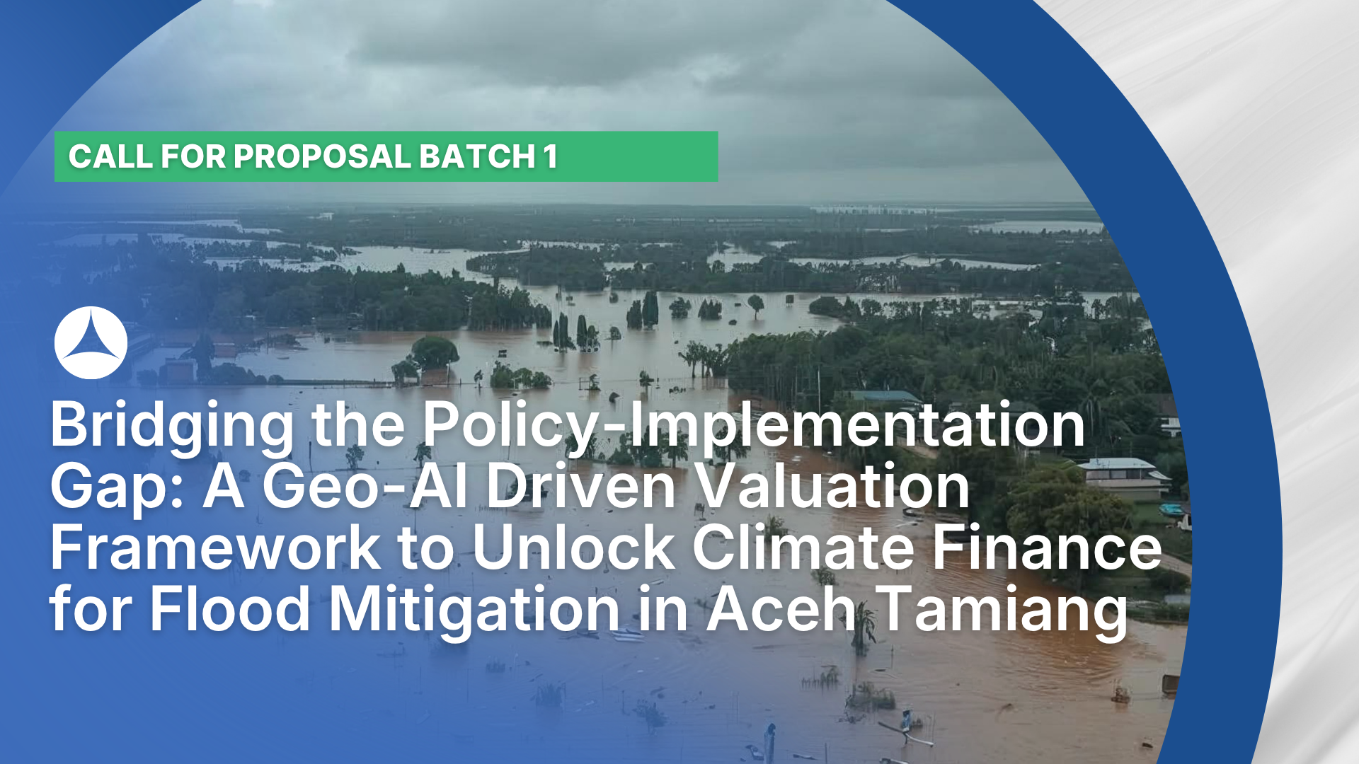
Bridging the Policy-Implementation Gap: A Geo-AI Driven Valuation Framework to Unlock Climate Finance for Flood Mitigation in Aceh Tamiang
Ringkasan Eksekutif
“Background and Urgency: The Paradox of Regulation and Reality. Indonesia has demonstrated a strong commitment to green economy principles through the ratification of Government Regulation (PP) No. 46/2017 on Environmental Economic Instruments and the recent enactment of BPLH Regulation No. 2/2025 on Payment for Environmental Services (PES). However, a critical “”implementation gap”” persists at the sub-national level. While the regulatory mandate exists, Local Governments (Pemda)—specifically in the Aceh Tamiang Regency—face a debilitating technical vacuum. Regional policymakers lack the standardized Technical Guidelines (Petunjuk Teknis) required to calculate, validate, and monetize the economic value of ecosystem services with legal precision.
The urgency of this initiative is underscored by the recent Sumatera Flood Disaster of November 2025, where Aceh Tamiang emerged as one of the most severely devastated epicenters. Reports indicate that the catastrophe paralyzed the regional economy, inflicting estimated financial losses exceeding IDR 600 Billion (approx. USD 38 Million) due to widespread agricultural collapse and infrastructure destruction. Consequently, despite bearing the brunt of these escalating hydro-meteorological costs while possessing significant upstream carbon sinks, the local government remains unable to mobilize Climate Finance or implement PES schemes. Without a scientifically defensible valuation basis, the region remains trapped in a cycle of dependency on limited state budgets (APBD) for reactive disaster relief, ignoring the potential of sustainable financing from carbon trading or downstream beneficiary compensation [1]. This research aims to bridge this gap by developing a Spatiotemporal Environmental Service Valuation Framework that translates complex ecological data into a clear, policy-ready pricing mechanism.
Preliminary Study: The Cost of Environmental Degradation. To demonstrate the critical urgency of this research, our team has conducted a rigorous Preliminary Counterfactual Scenario Analysis using the XGBoost Machine Learning algorithm. The results of this preliminary study are in the form of spatial analysis using machine learning which can be seen in the Annex 3: Other Appendices. This study aimed to isolate the impact of land-use change on flood risk by simulating a constant climate variable—specifically, the extreme rainfall event of November 2025—across different historical land cover scenarios (1990, 2000, 2010, and 2025). The findings of this preliminary study are alarming and highlight the escalating cost of inaction:
- Exponential Risk Escalation: Our simulation reveals that if the extreme rainfall of 2025 had occurred on the landscape of 1990, the area subjected to “”Very High Risk”” inundation would have been limited to 43,622 hectares. However, due to massive upstream deforestation and land conversion over the past three decades, the same rainfall intensity on the 2025 landscape results in a “”Very High Risk”” area of 66,777 hectares. This represents a 53% increase (+23,155 Ha) in catastrophic flood risk purely attributable to environmental degradation, independent of climate change factors.
- Loss of Safe Zones: Concurrently, the watershed’s “”Safe Zone”” (Non-inundated areas) has shrunk by approximately 18,295 hectares. This deficit represents a direct loss of the watershed’s natural retention capacity—an ecosystem service that was free in 1990 but now manifests as economic loss.
These figures provide the initial “”price tag”” for the missing ecosystem services. However, these results, while statistically significant, are currently based on coarse-resolution satellite data. They serve as a powerful hypothesis, but they lack the granular precision required for fiscal policy adoption. A regional regulation (Perda) cannot be based solely on remote sensing probabilistic models; it requires absolute empirical validation.
The Critical Role of Ground Truth Validation. This is where the proposed RECLICKS project becomes pivotal. The preliminary data, though compelling, is liable to be challenged by stakeholders (e.g., plantation companies or potential payers) regarding its accuracy at the plot level [2]. To transform these “”rough estimates”” into a legally binding valuation formula, Ground Truth Validation is non-negotiable. This research proposes the deployment of high-precision technology to validate the satellite-based findings:
- DJI Mavic 3 Multispectral (M3M): We will utilize this specific instrument to capture high-resolution multispectral imagery (Green, Red, Red-Edge, and Near-Infrared bands) at key degradation hotspots identified in the preliminary study. The M3M allows for the precise calculation of Vegetation Indices (NDVI/NDRE) to verify the actual density and health of the canopy layer, which satellite imagery often misinterprets due to cloud cover or resolution limits.
- Hydrological Calibration: The satellite-derived runoff coefficients will be calibrated against real-time discharge data measured using Current Meter Flowatch devices at specific sub-watershed outlets.
This rigorous validation process will refine the accuracy of our Geo-AI model from a theoretical simulation to a precision valuation tool, ensuring that the calculated economic value of flood mitigation services is accurate, fair, and auditable [3,4].
Research Objectives and Methodology. Employing a Mixed-Method Sequential Explanatory Design, this study focuses on the Aceh Tamiang Watershed. The methodology unfolds in three strategic phases: (1) Precision Valuation utilizing Deep Learning Fusion on satellite data, calibrated via DJI Mavic 3 Multispectral and hydrological ground-truthing to quantify water retention services; (2) Social Validation using the Choice Experiment Method (CEM) and ethnographic mapping to determine the “”Willingness to Accept”” of smallholders, specifically female-headed households; and (3) Institutionalization through a Digital Twin Dashboard, which automates the technical execution of environmental service fees, ensuring scientific data directly informs fiscal policy.
Expected Outcomes. This research delivers a fully operational Real-Time Environmental Service Valuation Dashboard, functioning as a fiscal engine to automate the calculation of ecosystem service fees based on validated Geo-AI data. To ensure enforceability, we will produce an Academic Draft (Naskah Akademik) for a Regent Regulation (Peraturan Bupati), bridging the critical gap between national mandates and local execution. Additionally, methodological novelties regarding Deep Learning integration will be disseminated through one high-impact scientific publication (Q2/Q3), empowering Aceh Tamiang to transition towards proactive, legally grounded climate financing. By funding this research, RECLICKS is not just supporting an academic study; it is investing in a replicable financial architecture that transforms flood risk into a driver for sustainable development and community resilience.”
Tujuan
Precision Valuation utilizing Deep Learning Fusion on satellite data, calibrated via DJI Mavic 3 Multispectral and hydrological ground-truthing to quantify water retention services
Social Validation using the Choice Experiment Method (CEM) and ethnographic mapping to determine the "Willingness to Accept" of smallholders, specifically female-headed households
Institutionalization through a Digital Twin Dashboard, which automates the technical execution of environmental service fees, ensuring scientific data directly informs fiscal policy.
Komposisi Tim
Faiz Urfan, S.Pd., M.Pd.
Universitas Samudra
Dr. Rima Meilita Sari, S.Pd., M.Pd.
Universitas Samudra
Dr. T. M. Sahundra, M.Pd., M.Si.
Universitas Samudra
Publikasi Terkait
Unlocking the Value of Carbon Credits in Indonesia’s Geothermal Projects
Risk Mapping CCS/CCUS Value Chain in Indonesia: Guideline for Enhancing Bankability in Emerging Economies
De-risking Green Hydrogen and Ammonia Projects in Indonesia: A Risk-Based Approach to Innovative Climate Finance and Policy Design